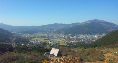
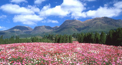
Yufuin Basin and Mt Yufu
Yufuin Basin and Mt Yufu
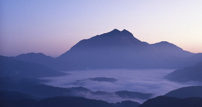
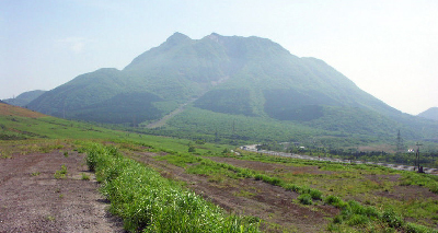
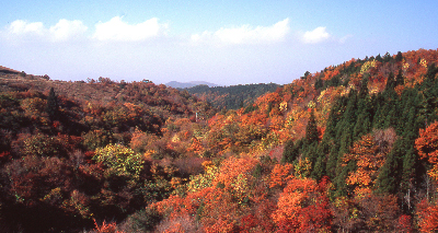
The basin is surrounded by mountains such as Mt Yufudake, Mt Amagidake, Mt Kuraki and Mt Fukuman.
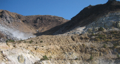
The mountain consists of two peaks, the east peak and the highest peak, the west peak, with a summit of 1583.28 m. The mountain itself is designated as Aso-Kujyu National Park. It is also called Bungo Fuji because of its conical shape. It has been revered as an object of worship since ancient times and its name is mentioned in the Kojiki (Records of Ancient Matters) and Bungo Kuni Fudoki (Records of the Fudoki of Bungo Province).
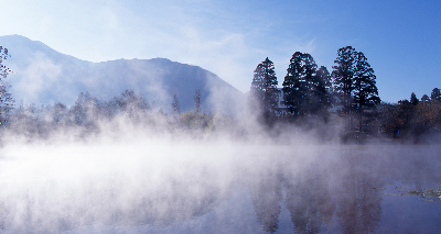
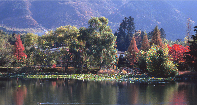
It is often seen on sunny mornings from autumn to winter, when temperatures are low and radiative cooling is likely to occur. Morning fog forms and stays in the basin, giving the Yufuin Basin, which is filled with morning fog, a view as if it were a lake, which can be seen from the hotel.

写真提供:(一社)由布市まちづくり観光局
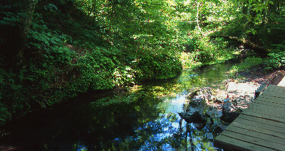
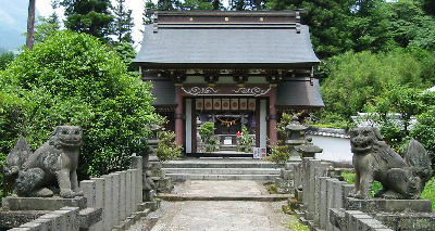
Unagihime Shrine
According to legend, the Yufuin Basin was once a large lake, but when Unagihime (Unagihime), the incarnation of Mt Yufudake, commanded her attendant Gongen to kick down the bank of the lake, the waters of the lake became a river (today's Oita River) and flowed out, the dried lakebed becoming the Yufuin Basin.
The Unaki-no-Hinomikami Shrine is located in a cedar grove with sacred trees several hundred years old, which can be seen in front of the Saigakukan. Originally, a large dragon lived in the lake, but lost its divine powers when the basin dried up.

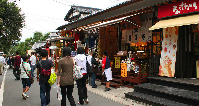
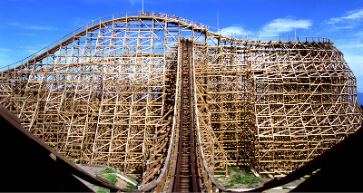
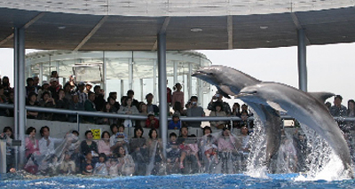
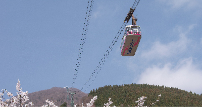
Yufuin Sightseeing Map
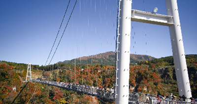
Yufuin- the best vocation location with an extensive sightseeing network
Yufuin is at the center of the Oita Prefecture and thus it’s your perfect accommodation location. Oita City, Aso and Kurogawa of Kumamoto, and Takachiho of Miyazaki are all within reach.


Useful links for your trip to Yufuin
| Discover Oita | https://www.discover-oita.com/ |
|---|